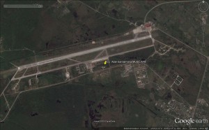


Below is data about the airport as given by worldaerodata:
| General Info | |
|---|---|
| Country | Cuba |
| ICAO ID | MUSC |
| Time | UTC-5(-4DT) |
| Latitude | 22.492192 22° 29′ 31.89″ N |
| Longitude | -79.943611 079° 56′ 37.00″ W |
| Elevation | 338 feet 103 meters |
| Type | Joint (Civil and Military) |
| Magnetic Variation | 005° W (01/06) |
| Beacon | Yes |
| Operating Agency | MILITARY – CIVIL JOINT USE AIRPORT |
| Near City | Santa Clara |
| Operating Hours | SEE REMARKS FOR OPERATING HOURS OR COMMUNICATIONS FOR POSSIBLE HOURS |
| Daylight Saving Time | Last Sunday in March to last Sunday in October |
| Communications | |
|---|---|
| SANTA CLARA TWR | 118.1 |
| Runways | ||||
|---|---|---|---|---|
| ID (Click for details.) |
Dimensions | Surface | PCN | ILS |
| 08/26 | 9898 x 148 feet 3017 x 45 meters |
ASPHALT | – | NO |
| Navaids | ||||||
|---|---|---|---|---|---|---|
| Type | ID | Name | Channel | Freq | Distance From Field | Bearing From Navaid |
| NDB | USC | SANTA CLARA | – | 240 | 2.0 NM | 080.8 |
| Supplies/Equipment | |
|---|---|
| Fuel | 100/130 MIL Spec, low lead, aviation gasoline (BLUE)Unknown fuel type or whether there is any fuel. |
| Remarks | |
|---|---|
| CAUTION | Helo ops. |
| CSTMS/AG/IMG | CSTMS and IMG avbl 24 hr PN. |
| FUEL | (NC-A1) |
| OPR HOURS | Opr 1300-2200Z++. |
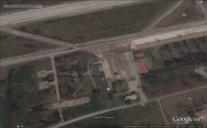
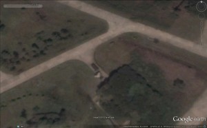
Aircraft visible on satellite image from 21.09.2014:
– psbl. 1 Unidentified aircraft (delta-winged?)
– 7 Helicopters
– 1 Fighter/Trainer
Structural changes visible on satellite image between 01.04.2014 and 21.09.2014:
– none
s
