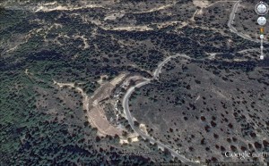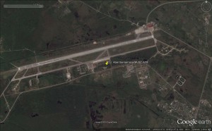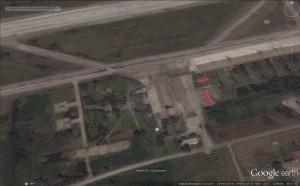
This is the satellite image of a facility on the Greek island Kos. The report of this being a military facility, as noted on WikiMapia, could not yet be confirmed. The photo was taken on the 09.10.2013 by GoogleEarth.
Number stations are shortwave transmissions (in the kHz, Kiloherz, region) from foreign intelligence agencies to spies in the field of foreign countries. Appearing at just about any time of day or night on the shortwave bands, number stations have been calling out with their automated voices since at least the first World War. Since the fact of operating a number station is technically a state secret, there have been very few confirmations from government organizations – those that have were the Czech Office for Foreign Relations and Information, Polish Institute of National Remembrance and the Swedish Security Service SÄPO. Usage of number stations has additionally been confirmed by former Cold War spies.
Text base above: Priyom
Currently active number stations (by language)
English:
German:
Slavic:
Other:
Morse:
Digital:

It is part of the Greek military on the island Kos. Here is more information, as given on zone-interdite.
Kos Isl. garrison. 80th National Guard Command
80ή ΑΔΤΕ is under ASDEN command and responsible for the Kos region defense.
Unit organisation:
HQ Coy (ΛΣΤ/80 ΑΔΤΕ)
– 80th NG Armored Battalion (80 ΕΑΡΜΕΘ) and Armored Reconnaissance Battalion (80 ΕΑNΕΘ)
– 282nd and 543th NG Battalions (282/543 M/KTE) Mechanized
– 295th and 588th NG Battalions (295/588 ΤΕ)
– 80th NG Artillery (80 MΕΘ), Anti Aircraft Artillery (80 MΕAΠ), Medical (80 ΤΥΕΘ) and Support Battalions (80 ΤΥΠΕΘ)
– 80th Anti Tank (80 ΛAT), NG Anti Τank (80 ΛΑΤΕΘ), Engineers (80 ΛΜΧ) and Signal Companies (80 ΛΔΒΕΘ)
The air force EW radar located at grid 36° 51′ 24″ N 27° 18′ 51″ E


Aircraft visible on satellite image from 21.09.2014:
– psbl. 1 Unidentified aircraft (delta-winged?)
– 7 Helicopters
– 1 Fighter/Trainer
Structural changes visible on satellite image between 01.04.2014 and 21.09.2014:
– none
Below is data about the airport as given by worldaerodata:
| General Info | |
|---|---|
| Country | Cuba |
| ICAO ID | MUSC |
| Time | UTC-5(-4DT) |
| Latitude | 22.492192 22° 29′ 31.89″ N |
| Longitude | -79.943611 079° 56′ 37.00″ W |
| Elevation | 338 feet 103 meters |
| Type | Joint (Civil and Military) |
| Magnetic Variation | 005° W (01/06) |
| Beacon | Yes |
| Operating Agency | MILITARY – CIVIL JOINT USE AIRPORT |
| Near City | Santa Clara |
| Operating Hours | SEE REMARKS FOR OPERATING HOURS OR COMMUNICATIONS FOR POSSIBLE HOURS |
| Daylight Saving Time | Last Sunday in March to last Sunday in October |
| Communications | |
|---|---|
| SANTA CLARA TWR | 118.1 |
| Runways | ||||
|---|---|---|---|---|
| ID (Click for details.) |
Dimensions | Surface | PCN | ILS |
| 08/26 | 9898 x 148 feet 3017 x 45 meters |
ASPHALT | – | NO |
| Navaids | ||||||
|---|---|---|---|---|---|---|
| Type | ID | Name | Channel | Freq | Distance From Field | Bearing From Navaid |
| NDB | USC | SANTA CLARA | – | 240 | 2.0 NM | 080.8 |
| Supplies/Equipment | |
|---|---|
| Fuel | 100/130 MIL Spec, low lead, aviation gasoline (BLUE)
Unknown fuel type or whether there is any fuel. |
| Remarks | |
|---|---|
| CAUTION | Helo ops. |
| CSTMS/AG/IMG | CSTMS and IMG avbl 24 hr PN. |
| FUEL | (NC-A1) |
| OPR HOURS | Opr 1300-2200Z++. |